 |
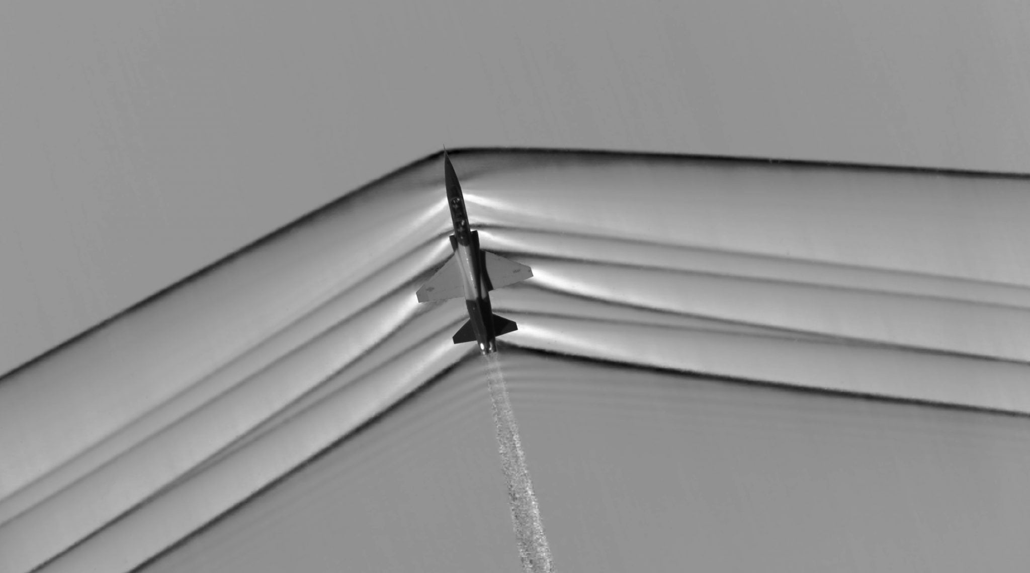
| This schlieren image dramatically displays the shock wave of a supersonic jet flying over the Mojave Desert. Researchers used NASA-developed image processing software to remove the desert background, then combined and averaged multiple frames to produce a clear picture of the shock waves. Photo: NASA |
[Avionics Today 05-02-2016] Honeywell recently flight-tested new cockpit displays that help pilots see sonic booms — a loud noise caused by current aircraft traveling faster than the speed of sound — before they happen so they can reroute and reduce the effects of aircraft noise over populated areas. By predicting sonic boom footprints, the company is hoping to remove a key roadblock impeding the introduction of supersonic travel as well as support one of NASA’s goals to modernize flight. To this effect, Honeywell is working with NASA’s Armstrong Flight Research Center to study the most effective way to visually inform pilots flying supersonic jets about sonic booms.
Early in 2015, Honeywell was awarded a two-year contract as part of an effort to aid in overcoming the issue of sonic booms as a roadblock to commercial supersonic flight. In their first year under the contract, Honeywell and NASA have designed and developed predictive software and display technology that has been successfully tested in flight over commercial airspace.
“Important to our progress in reducing the sonic boom impact over land is to have a predictive sonic boom display in supersonic aircraft cockpits that ensures our future quiet supersonic aircraft remain below acceptable noise levels,” said Brett Pauer, NASA Crew Space Transportation (CST) subproject manager at Armstrong Flight Research Center. “We have partnered with avionics companies like Honeywell to translate our NASA algorithms into an integrated avionics system that is tested and evaluated by pilots.”
Honeywell’s predictive software and displays for supersonic jets are in ongoing development and testing with NASA. The conceptual designs used under NASA’s Commercial Supersonic Technology Project are tied to Honeywell’s Interactive Navigation (INAV) technology, a system that provides the simultaneous display of traffic, terrain, airspace, airways, airports and navigation aids.