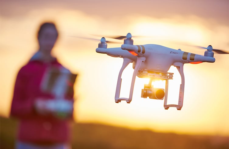
Photo courtesy of NATS
NATS’ drone-safety app, Drone Assist, has garnered 10,000 new users in 10 weeks, the Civil Aviation Authority (CAA) entity says. As the U.K. continues its efforts to regulate drone use, NATS (which started as National Air Traffic Control Services (NATCS)) has stepped in with the app that helps drone pilots comply with U.K. rules.
Free for both Android and iOS devices, Drone Assist is powered by drone data and services provider Altitude Angel. It provides drone pilots with an interactive map of airspace used by commercial aircraft, as well as round-based hazards that could create risks, like power lines and schools.
Through the app, more than 3 million areas of airspace have been loaded onto devices. Users have clicked on pieces of airspace to read warning information more than 70,000 times. When it comes to ground hazards, the app has hosted more than 32,833, of which people have clicked to get more information. And almost 5,000 “Fly Now” reports have been created, meaning that people voluntarily created flight reports 5,000 times.
“As drone sales continue to rise, so too do reports of near misses between drones and commercial aircraft in the U.K. It is therefore more important than ever for drone users to have the tools and information needed to operate safely, which is what Drone Assist aims to provide,” says Phil Binks, NATS drone lead. “We’re delighted that the app has been so well received and hope that its use helps to contribute to safer airspace with more responsible drone users.”